Upper Clutha Historical Records Society Otago, New Zealand
The Society was established in 1985 to collect and preserve records and images of the history of the Upper Clutha region and make them available to members of the public. The records are held in a special room in the Wanaka Library and a team of volunteers provides research assistance (appointments are necessary) to members of the public who may be looking for their family history or for persons searching for aspects of NZ history.
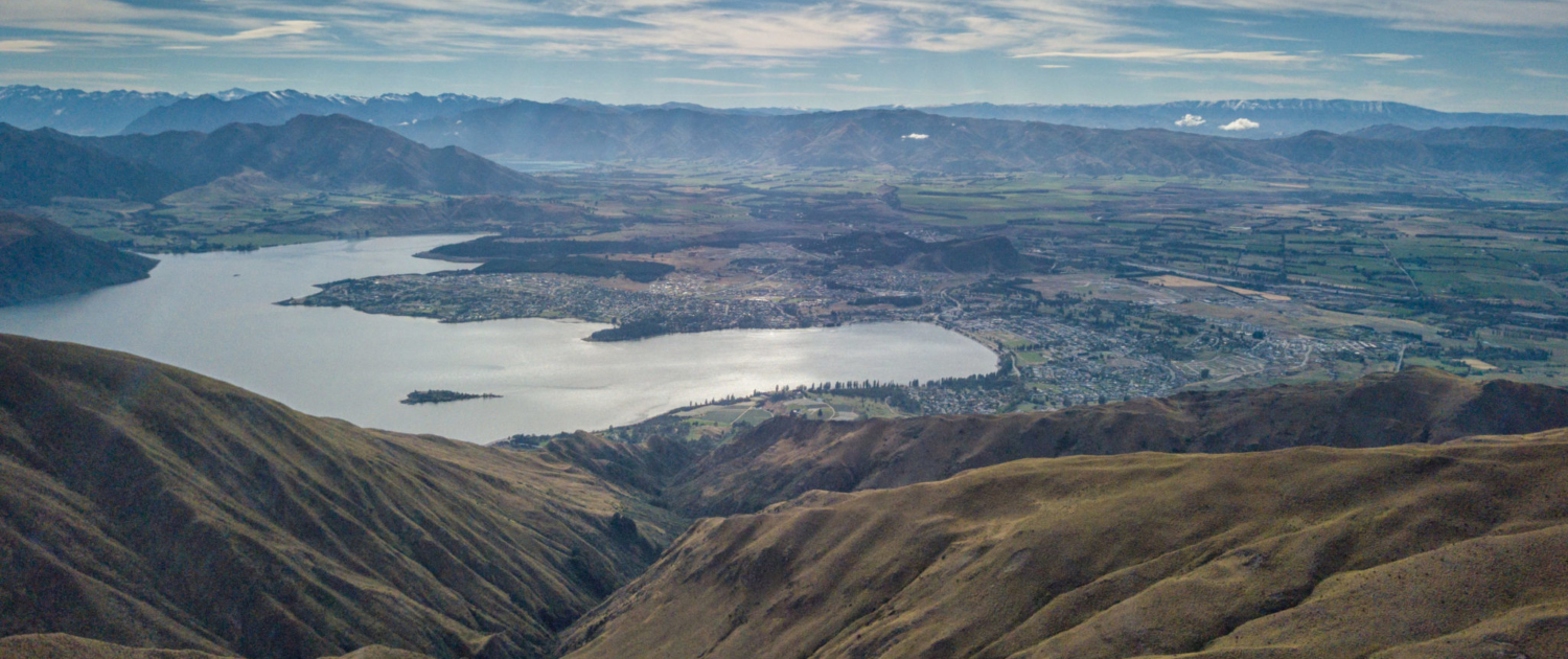
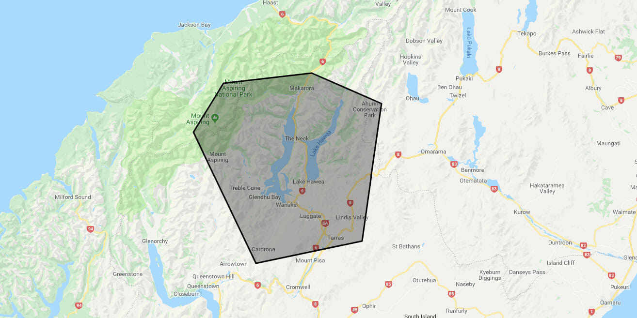
The UPPER CLUTHA is located in the Southern Lakes and Central Otago area of the South Island of New Zealand.
Towns and Settlements:
PEMBROKE (renamed WANAKA in 1940)
ALBERT TOWN
CARDRONA
LUGGATE
HAWEA
MAKARORA
TARRAS
Districts:
Ardgour Valley
Bendigo
Cardrona Valley
Lindis Valley
Matukituki Valley
Mt Barker
Maungawera
Hawea Flat
Queensberry
Major Rivers:
Cardrona
Hawea
Makarora
Matukituki
All feed into –
Clutha Mata-Au [formerly Molyneaux] – the longest river in the South Island


